A great circle is what you get if you take a line representing the shortest distance between two points A and B and then continue that line all the way around the earth until it crosses over itself again. Google Earth Operates this way when creating paths.
So while I doubt I'll actually be flying through the arctic circle (possible as it may be), if I were to walk from here to Incheon, that would be the shortest route. In the meantime, the line here is for display purposes only.
So here it goes
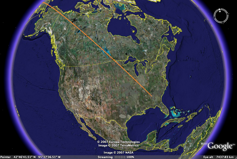
Here I am leaving Atlanta in the lower right hand corner. I fly clear across the country and you lose sight of me somewhere near Alaska as the Earth curves around.
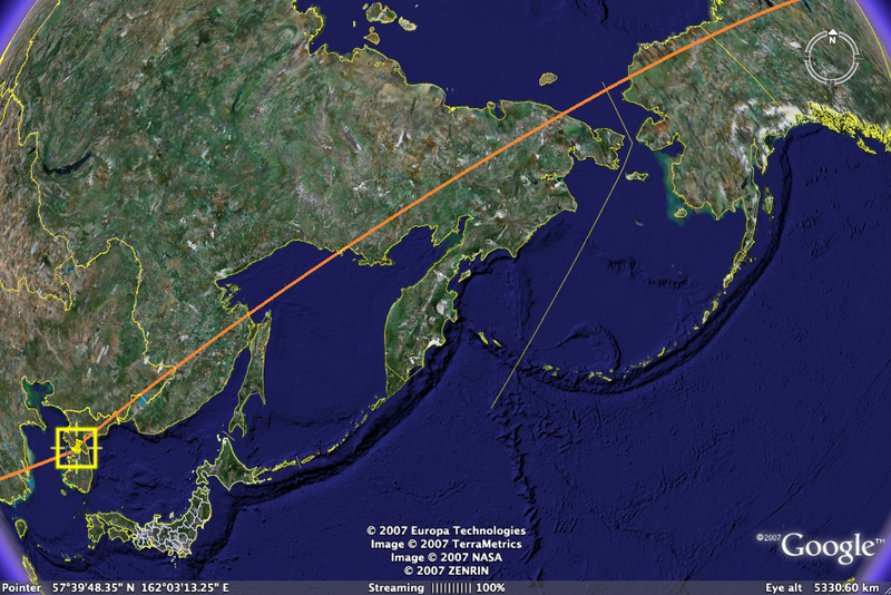
Picking the old path up again and following it all the way down to Incheon, Korea (South Korea that is) in the lower left hand corner. This is my connection, yes my first flight goes all the way from Atlanta to Korea. I didn't know it could be done but hey, who doesn't want to spend 18 hours on a plane?
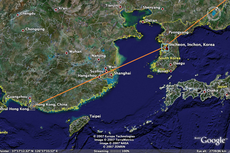
Zooming in here on Southeast Asia, you see that Korea is near Northern China so I'll be flying clear across China to get to Hong Kong. It's when I look at it like this that I realize I'm actually going to the other side of the world.
Anyway, have a great day and maybe I'll post the return flight soon.

No comments:
Post a Comment